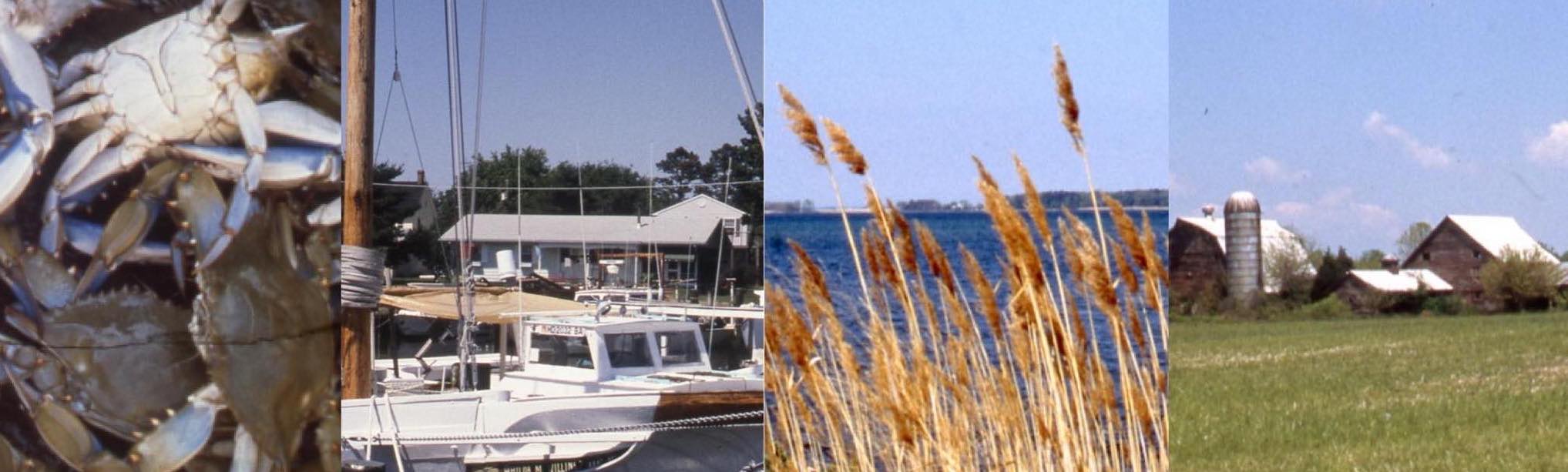
Delmarva

The Delmarva Peninsula is made up of most of the state of Delaware and the Eastern Shore of Maryland and Virginia. The term Delmarva – Delaware, Maryland, and Virginia – started to appear in the early 1900s and became more widespread by the 1920s. The peninsula is surrounded by water on three sides, including the Chesapeake Bay, the Delaware Bay, and the Atlantic Ocean, as well as the Chesapeake and Delaware Canal, which was built in 1829. The Peninsula is 170 miles long, 70 miles at its widest point and less than 12 miles wide at the narrowest point, with Cape Charles on the southern tip. Delmarva can be accessed by several bridges that cross the Chesapeake and Delaware Canal in the north, the Chesapeake Bay Bridge in the west, the Cape May-Lewes Ferry in the east and the Chesapeake Bay Bridge-Tunnel in the south.
This land between the Chesapeake Bay and the Atlantic Ocean has a rich history and diverse population from many cultures and backgrounds. The landscape and environment coupled with the different customs, beliefs, and traditions create a distinctive feel and lifestyle that is uniquely Delmarva.